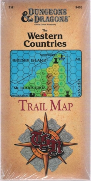
Collector's Arcana: The Western Countries Trail Map TM1 consists of a large, 36" x 57" Fold-Out Map.
The outer cover is a has a three panels with no writing on the inside.
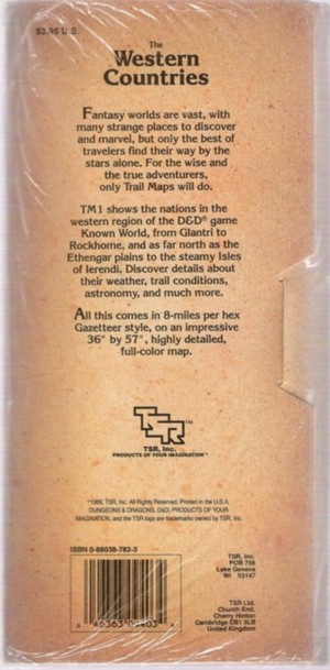
Description (From the back cover)
Fantasy Worlds are vast, with many strange places to discover and marvel, but only the best
of travelers find their way by the stars alone. For the wise and true adventurers, only Trail Maps will
do.
TM1 shows the nations in the western region of the D&D game Known World, from Glantri to Rockhome and as
far north as the Ethengar plains to the steamy Isles of Ierendi. Discover details about their weather,
trail conditions, astronomy and much more.
All this comes in 8-miles per hex Gazetteer style, on an impressive 36" by 57", highly detailed, full-color
map.
Click Image to Enlarge
|
Do you have questions, additional information or new
research about this item?
We invite you to interact with other collectors in our
Research Forums
|
|
|
Previous
D&D Crucible
-
Return to D&D
Gazetteers
-
Next
D&D
Trail Map
|
|
|