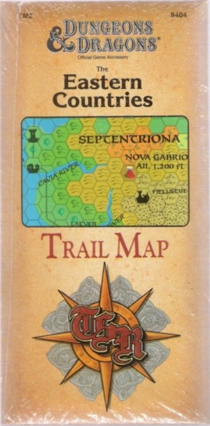
Collector's Arcana: The Eastern Countries Trail Map TM2 consists of a large, 36" x 57" Fold-Out Map.
The outer cover is a has a three panels with no writing on the inside.
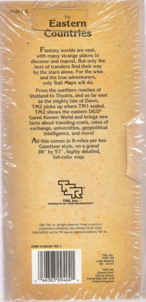
Description (From the back cover)
Fantasy Worlds are vast, with many strange places to discover and marvel, but only the best
of travelers find their way by the stars alone. For the wise and true adventurers, only Trail Maps will
do.
From the northern reaches of Vestland to Thyatis, and as far east as the mighty Isle of Dawn,
TM2 picks up where TM1 ended. TM2 shows the eastern D&D Game Known World and brings new facts about
traveling costs, rates of exchange, universities, geopolitical intelligence and more!
All this comes in 8-miles per hex Gazetteer style, on a grand 36" by 57", highly detailed, full-color
map.
Click Image to Enlarge
|
Do you have questions, additional information or new
research about this item?
We invite you to interact with other collectors in our
Research Forums
|
|
|
Previous
D&D Trail Map
-
Return to D&D
Gazetteers
-
To
D&D
Accessories
|
|
|